
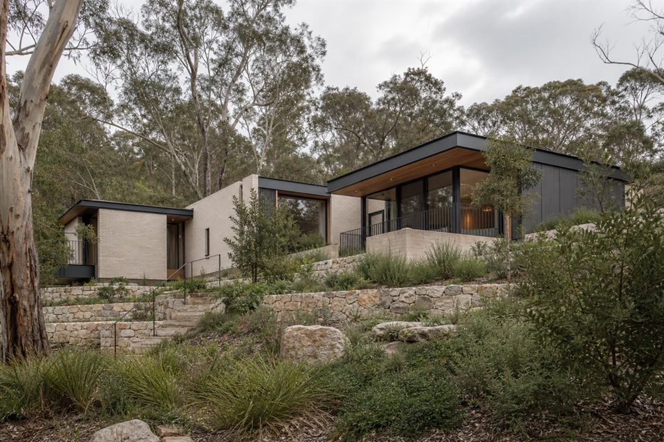
Confirm which constraints actually apply
Northbridge properties are not uniform. Some land is environmentally zoned, bushfire prone, affected by a foreshore building line or recorded on natural-heritage mapping; other addresses are not. Current mapping, survey and specialist advice should define the real problem before a design response is chosen.
Use feasibility to compare disturbance
A first study should compare alternative building positions, split levels and access routes. The aim is to understand excavation, retaining, tree impact, drainage and construction access rather than simply fitting the largest envelope.
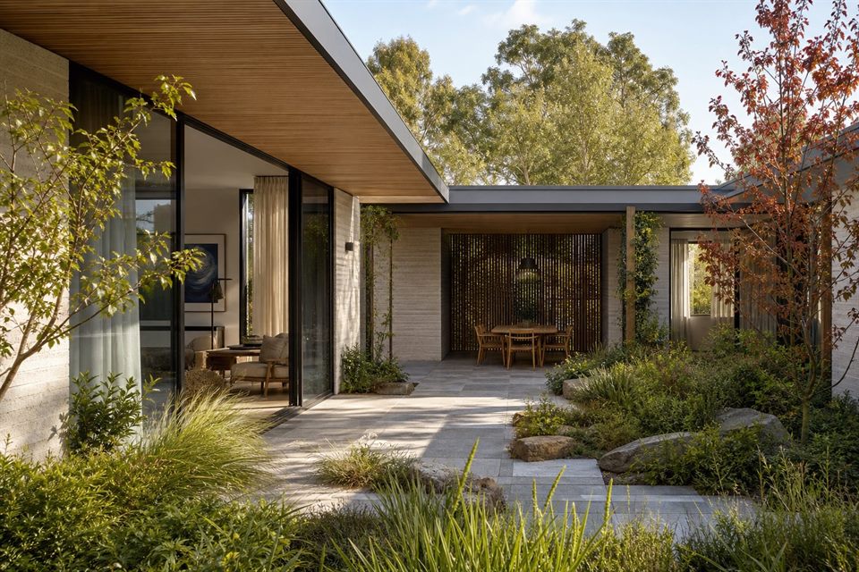
Coordinate fire, landscape and outlook
Where bushfire controls apply, asset-protection requirements and material choices can affect planting, openings and outdoor use. These should be resolved with landscape quality and views, not treated as an isolated compliance exercise.
Make daily movement credible
A dramatic sloping site still needs an easy route from street and car to kitchen, bedrooms and garden. Stairs, lifts, ramps and intermediate landings should be tested against footprint, cost and long-term accessibility.
Is every Northbridge property bushfire prone?
No. Bushfire mapping is property specific and should be checked through current official mapping and qualified advice where applicable.
What does an early feasibility study compare?
It can compare siting, levels, access, excavation, tree impacts, approval constraints and indicative scope before a preferred plan is selected.
Why is a feature and level survey essential?
On a steep or irregular site, accurate levels, trees, boundaries, rock and neighbouring relationships are needed to test a credible section.
Official resources
Requirements and guidance can change. Check the relevant authority and project address before relying on general information.
Start a conversation
Planning a home project?
Tell us the site, project type and the main decision you need help with.
No prepared brief is required.